
Located just east of the Pasayten Wilderness and connecting to that trail system, Border Camp Trail is a short trail segment within the Loomis State Forest, which is managed by the Department of Natural Resources as a Natural Resources Conservation Area.
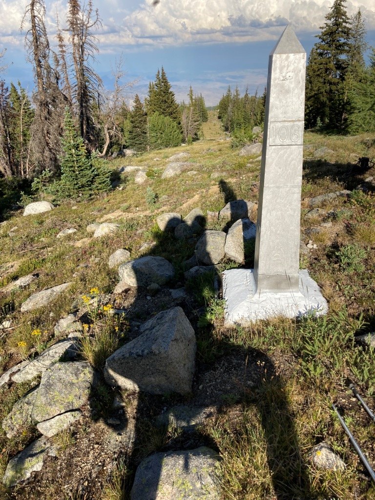
Border Camp is among several trails on the looped trail system located on DNR land, so-named for a historic campsite that appears on the old USGS topo maps near Snowshoe Peak and the Canadian border. No sign remains of the historic camp, but one of the US/Canadian boundary monuments (#106) is located at the northernmost point on the trail.
When maintained, Boundary Camp Trail can form a loop with Snowshoe Trail to the east and Olallie Trail to the west. However, Olallie Trail seldom receives maintenance and may be difficult to follow.
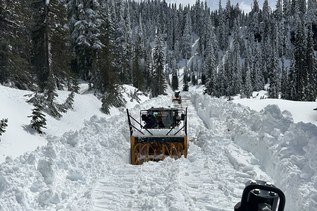
 Trailhead