

The U.S. Army Corps of Engineers maintains habitat management units (HMUs), many of which were acquired and developed as compensation to address losses to fish and wildlife resources incurred from the construction and operation of dams on the lower Snake River. HMUs provide habitat for a variety of wildlife species. They also provide fishing, hunting and hiking opportunities for the public.
When you look at a satellite image of Big Flat HMU, you see clumps of green in a sea of brown, showing the impact of irrigation circles. Fortunately, when on the ground, the land feels more natural, and it makes for a nice wander through meadows and groves of trees.
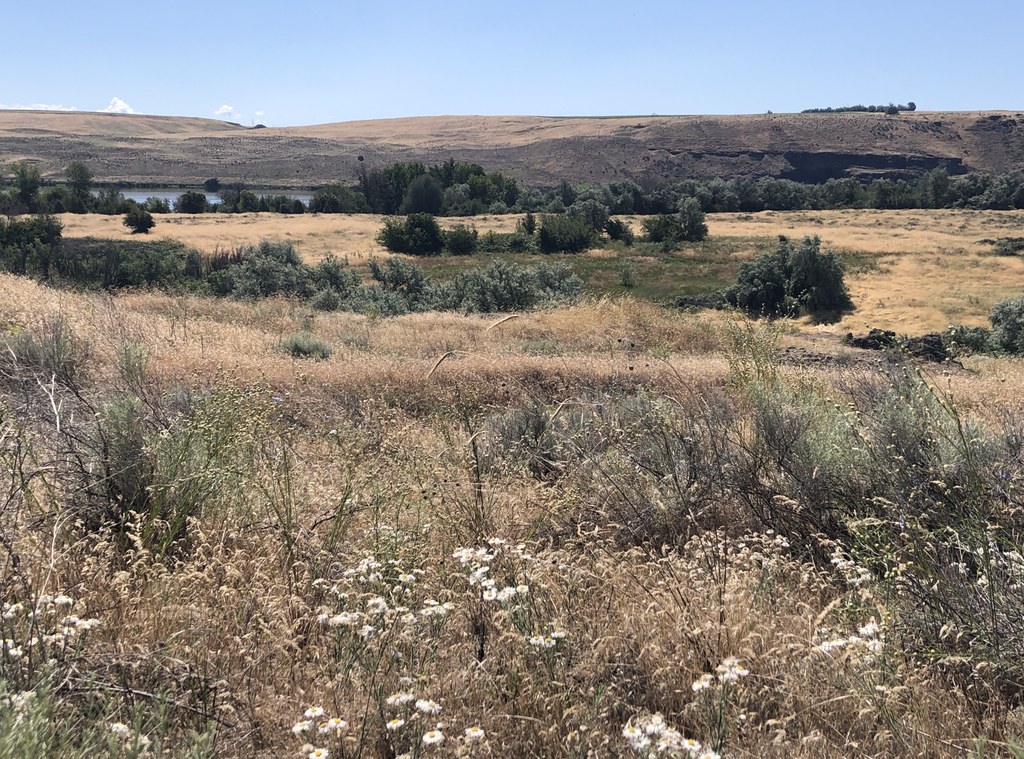
There is no map at the trailhead, but there are numerous gravel roads and mowed tracks to explore. If you have a GPS app on your phone, download a satellite map before you go. The route described here takes you on a loop around the circumference of the Big Flat HMU, winding in and out of shady groves of cottonwood and juniper, through open meadows, and to higher ground with nice vistas. Keep your eyes and ears open for songbirds, waterfowl, raptors, deer, coyotes, wildflowers, tall grass, and sage.
The trail begins behind a gated gravel road that traverses a causeway between tiny Dalton Lake and Lake Sacajawea, the impoundment behind Ice Harbor Dam. The causeway is a popular fishing spot. At 0.75 mile you’ll come to a junction where the gravel road turns left. That will be your return route.
Keep right on the mown grass/weed trail that skirts the outside of the HMU, providing glimpses of the Snake River through the trees. You’ll pass some big electrical towers as the trail curves to the north. Proceed on the shady trail up and around a bend near the river.
After the trail curves back toward the south, look for a mown track to the right, toward an irrigation head (labeled C10) and a grove of Russian olive trees. The track climbs behind the grove and leads to a gorgeous view of the river and the surrounding land. The track then curves to the left (west), and there are several options for trails. Keep heading generally west and you’ll reach a 2-track gravel road. Turn left (south).
The road passes groves of trees, a grassy meadow, some basalt cliffs, and an old windmill. Eventually you’ll walk under powerlines before completing the loop and ending up back on the road you came in on. Turn right and walk back to the trailhead.
Tip: Hunting is allowed for waterfowl, upland game birds and deer with shotgun and archery only. Watch for rattlesnakes and ticks here. Camping is allowed in the parking lot. There is a single-lane boat ramp.
 Trailhead


