Trails for everyone, forever

Home Go Hiking Hiking Guide Beaver Plant Lake

Beaver Plant Lake

North Cascades > Mountain Loop Highway
48.0476, -121.7142 Map & Directions
Length
3.2 miles, roundtrip
Elevation Gain
466 feet
Highest Point
2,871 feet
Calculated Difficulty About Calculated Difficulty
Easy/Moderate
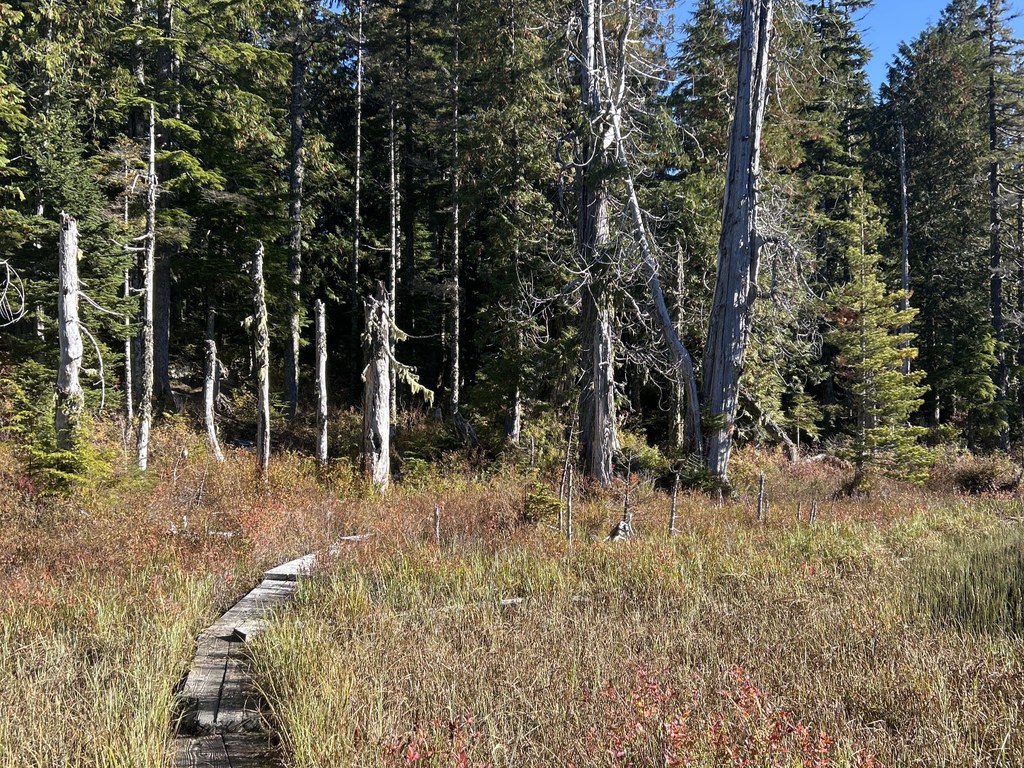
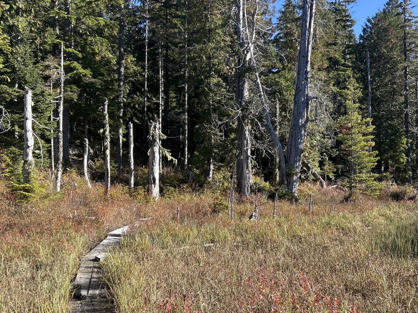
Boardwalk skirting the edge of Beaver Plant Lake. Photo by Jen Boyd. Full-size image
  • Dogs allowed on leash
  • Established campsites
  • Fall foliage
  • Good for kids
  • Lakes
  • Mountain views
  • Old growth
  • Ridges/passes
  • Wildflowers/Meadows
  • Wildlife

Parking Pass/Entry Fee

Discover Pass

Want to hike somewhere along the Mountain Loop Highway that is less-traveled, dog-friendly and features a beautiful lake as the destination? Beaver Plant Lake is the spot. Continue reading

Rating
0.00 out of 5

(0 votes) Log in to rate

Hiking Beaver Plant Lake

The trail to Beaver Plant Lake offers a less-travelled option off the Mountain Loop Highway, with lakeside backcountry camping or a day hike with a gorgeous picnic spot at the lake. 

Start from the signed trailhead on a wide, tree-lined path. At about 100 feet in, a trailhead kiosk offers information on the Morning Star Natural Resources Conservation Area, an ecologically complex area home to state-sensitive and state-threatened species, plus marbled murrelet, northern spotted owl, Pacific fisher and bull trout.

The former logging road heads onward through a younger forest, dropping slightly to a metal bridge crossing a green-lined creek at 0.3 mile. From here, the trails narrows to a mostly singletrack lane and heads up, including a few stairs. The forest becomes denser here and old growth remnants are easily visible from the trail.

Soon, the route includes a few shorter, and then longer, boardwalk sections, winding through the skunk cabbage and ferns. Watch the footing here as this area gets upwards to 100 to 150 inches of rain per year, often damaging the boardwalks with excessive moisture and freezing temperatures. 

At 1 mile, the path climbs upward and crests a ridge. The trail descends and shortly comes to an intersection at 1.5 miles. Bear left to continue to Beaver Plant Lake.

At the lakeside, a boardwalk skirts the nearest edge, offering a stroll in the marshy area buffering the open water.  A bench presents a place to relax and enjoy the prevalent birdsong, many dragonflies swooping above the water and, hopefully, some sunshine and a snack. Post snack, retrace the route to the parking area for 3.2 miles in overall mileage. 

Extend your hike

At the intersection near Beaver Plant Lake, take the right option to continue on to Upper and Lower Ashland Lakes, adding just over 2 miles to the total in-and-out mileage. 

WTA Pro Tip: The closest public flush toilet facilities are at the Verlot Ranger Station, on the Mountain Loop Highway between the road to Beaver Plant Lake and Granite Falls.

Toilet Information

  • Toilet at trailhead
  • Backcountry privy available

More information about toilets

Hike Description Written by
Jen Boyd, WTA Correspondent

Beaver Plant Lake

Map & Directions

Trailhead
Co-ordinates: 48.0476, -121.7142 Open in Google Maps

Before You Go

See weather forecast

Parking Pass/Entry Fee

Discover Pass

WTA Pro Tip: Save a copy of our directions before you leave! App-based driving directions aren't always accurate and data connections may be unreliable as you drive to the trailhead.

Getting There

Note: A 13-mile section of the easternmost part of the Mountain Loop Highway is unpaved. Additionally, the roadway to the trailhead from the Mountain Loop Highway can be quite rough, pot-holed and, after rain, full of puddles — higher clearance vehicles are recommended. 

From Highway 92 in Granite Falls, turn left onto the Mountain Loop Highway. At 15.7 miles, turn right on to FR 4020, signed “Boardman Lake, Ashland Lakes, Bear/Pinnacle Lake.” At 2.7 miles, turn right onto FS 4021, signed “Pinnacle Lake.”  At, 1.4 miles, turn left and very shortly see the parking area roadside, with a vault toilet and space for 8-10 vehicles. 

More Hike Details

Trailhead

North Cascades > Mountain Loop Highway

Washington State Department of Natural Resources

Guidebooks & Maps

Day Hiking: North Cascades (Romano - Mountaineers Books)

https://dnr.wa.gov/sites/default/files/2025-03/amp_ashland_beaver.pdf

Buy the Green Trails Silverton No. 110 map

You can improve or add to this guidebook entry!

Beaver Plant Lake

1 Trip Report

Hiked here recently?

Submit a trip report!
 
Loading trip reports...
Trip Reports