Trails for everyone, forever

Home Go Hiking Hiking Guide Bayview Loop Trail

Bayview Loop Trail

North Cascades > Mount Baker Area
48.6748, -121.6768 Map & Directions
Length
1.3 miles, roundtrip
Elevation Gain
20 feet
Highest Point
760 feet
Calculated Difficulty About Calculated Difficulty
Easy
Walk through the forest at Bayview Campground. Photo by Tiffany Chou. Full-size image
  • Dogs allowed on leash
  • Good for kids
  • Lakes
  • Wildflowers/Meadows
  • Wildlife

The Bayview Loop trail fittingly follows the perimeter of the Bayview Campground along the west bank of Baker Lake. It's a short and relatively flat hike great for all ages. Continue reading

Rating
0.00 out of 5

(0 votes) Log in to rate

Hiking Bayview Loop Trail

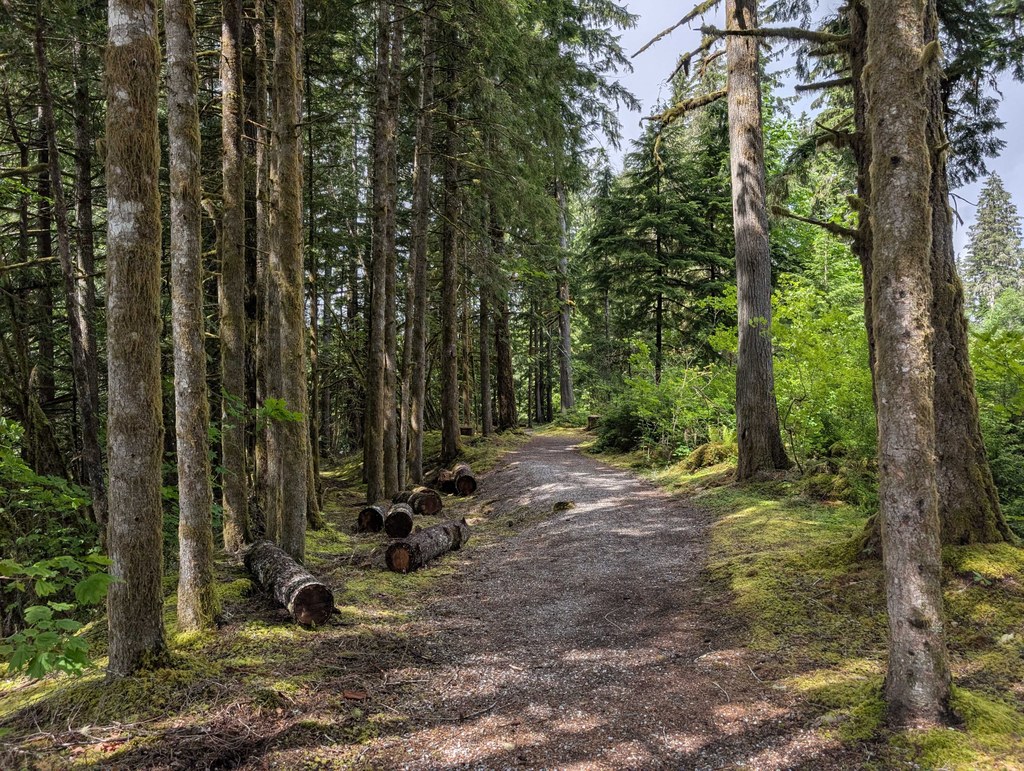
Encircling the Bayview Campground at Baker Lake is the Bayview Loop Trail, a lovely mild loop surrounded by forest. The east side of the loop has views of a cove of Baker Lake, and a small detour from the southeast corner of the loop offers incredible views and easy water access of the larger Baker Lake. 

The trail is well-signed at intersections, so hikers need not worry too much about getting lost. 

The loop is easily accessed from Bayview Campground, but is also accessible via a 0.4-mile trail from Horseshoe Cove Campground to the south. 

Toilet Information

  • Toilet at trailhead
  • Backcountry privy available

More information about toilets

Wheelchair Accessibility

The trail is very wide, relatively flat and graveled or dirt throughout. A wheelchair may be able to navigate the loop with assistance. 

Hike Description Written by
Tiffany Chou, WTA Correspondent

Bayview Loop Trail

Map & Directions

Trailhead
Co-ordinates: 48.6748, -121.6768 Open in Google Maps

Before You Go

See weather forecast

WTA Pro Tip: Save a copy of our directions before you leave! App-based driving directions aren't always accurate and data connections may be unreliable as you drive to the trailhead.

Getting There

The trail is located within the Bayview Campground at Baker Lake. 

From I-5, take exit 232 and head east on Cook Rd. In about 4.2 miles, you'll come across 3 roundabouts. Continue straight at the first roundabout, turn left onto Borseth St at the second roundabout and continue straight onto W Moore St at the third roundabout. Shortly, W Moore St becomes SR 20. 

In about 17 miles on SR 20, turn left onto Baker Lake Rd, which is paved. Continue for 15.2 miles, passing the Shadow of the Sentinels trailhead, then turn right onto FR 1118. Reach the turn-off to the campground on your left in about 1.7 miles. 

The trail is easily accessed from a road loop on the east side of the campground, as well as a few other places in the campground, which are signed. There are vault toilets in the campground. 

More Hike Details

Trailhead

North Cascades > Mount Baker Area

Mt. Baker-Snoqualmie National Forest, Mount Baker Ranger District

You can improve or add to this guidebook entry!

Bayview Loop Trail

1 Trip Report

Hiked here recently?

Submit a trip report!
 
Loading trip reports...
Trip Reports