Road/TH:
Road up to the TH is pretty good at first but gets rougher higher up, not great by east side standards, pretty good by west side standards. Camped at the TH the night before. Lots of camping options and we didn't see anyone out due to it being sunday night/monday morning.
Martin Creek -> Switchback Mountain
Martin Creek trail is a pretty casual mellow grade all the way to cooney lake, about 8 miles & 3K vert. Took about 2 1/2 hours. The mosquitoes at cooney lake were AWFUL, couldn't even stop and enjoy the beauty without being swarmed so we began to move up switchback mountain. There's a trail up most of the way up switchback and its pretty easy to navigate so nothing much to say. Very pretty views and a friendly marmot on the summit. We signed the summit register and moved began on the ridge.
Switchback Mountain -> Mount Bigelow
Switchback to Martin is pretty simple and some boulder hopping but easy. Took us about 45 min to get to Martin. Once again gorgeous views and great views along the rest of our route. Martin to Bigelow is less straightforward, you drop down to the left and kinda bushwack before regaining a trail. Follow the trail for a little bit before heading back up a boulder field up to Bigelow. Not too hard to navigate especially with a gpx track, you'll see peaks that look like the summit but the actual summit is to the left. Great views over to Hoodoo Peak & Ravens Ridge, it did look pretty far away though...
Mount Bigelow -> Hoodoo Peak -> Ravens Ridge
The traverse from bigelow to hoodoo through the forest was easily the worst part of the day. I went high and traversed the rocks (bad idea) I got into some sketchy downclimbs and slabs that were wet as it began to rain. Very buggy and just all around a not fun time. After traversing for a while you hit a gully and then begin to climb up that. It was around this time when we began to hear the thunder so we scurried to find a rock shelter. It was around 7,550 feet. We took shelter and waited for almost an hour before beginning to move because we thought the storm had passed (it hadn't). We climbed a couple hundred feet up before rushing back down as it began to hail and the lighting was very close. We ended up both falling asleep for about 2 hours as the storm officially passed and the skies cleared.
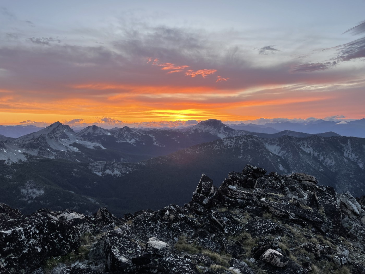
The rock was wet & slick as we moved up and hit the col. From here you can see the way all the way to hoodoo (stay lower to the right). We made it up to summit of hoodoo around 7:20 pm and still had a long ridge over to ravens ridge. First section is pretty non technical but a lot of boulder hopping, nice to have free hands for some sections though. There is one section along the ridge that was the sketchiest, it was practically directly west of libby lake. Andrew stayed high, I dropped down and ended up with a sketchy downclimb a gully that wasn't fun at sunset. Then it was longer than expected but pretty flat to the true summit, its all the way at the end.
Ravens Ridge -> TH
Pretty direct descent off of Ravens Ridge, boulders turning into some bushwacking but it was hard to tell as it was pitch black. Then a crusier couple miles back out but not super fun at 12 am and already being out for 19 hours.
Summary:
It ended up being one of my favorite days in the mountains with a couple parts sketchier than I would have liked (thunderstorm, climbing & descending ravens ridge in the dark, loose gully climbing as the sun set with 20+ mph gusts) but I will also love this day. I'd highly recommend having a gpx track it was very helpful, I'll link mine below. The traverse from Hoodoo to Ravens Ridge was definetly the sketchiest part so maybe descending to the lake is better if your less comfortable on rock. Also learn from me and pack that pair of rain pants and don't get caught in a hailstorm in only shorts.


Comments