Trip Report
Shedroof Divide, Hughes Fork & Jackson Creek — Sunday, Jul. 3, 2016
 Eastern Washington > Selkirk Range

I love loop backpack trips, and I've long been eyeing this loop, which accesses the Salmo Priest Wilderness' Shedroof Divide from the Idaho side. My plan was to hike the longer, more gradual trail up: Hughes Creek #312, a trail I've never hiked before. Following that I'd hike the Shedroof Divide south, where I already knew there were lots of downfall trees (and where part of my plan was to get GPS data for the water crossings, since there will be a WTA crew working on clearing the downfall next weekend). Then I'd head down Jackson Creek #311. I hiked a portion of this trail a few years ago, but just the first 2-3 miles from the Shedroof Divide down.
I was using the guidebook Trails of the Wild Selkirks to help plan my route, as the Idaho Panhandle National Forest website has no information for the 311 & 312. As it turns out, the guidebook's driving directions to the trailhead are outdated. The access point described in the book does still exist, but it is completely overgrown. Someone has placed a few marking ribbons along the route, and I was able to follow them to the main trail--but it was a very difficult and confusing first mile, and I nearly gave up before stumbling upon the trail by accident.
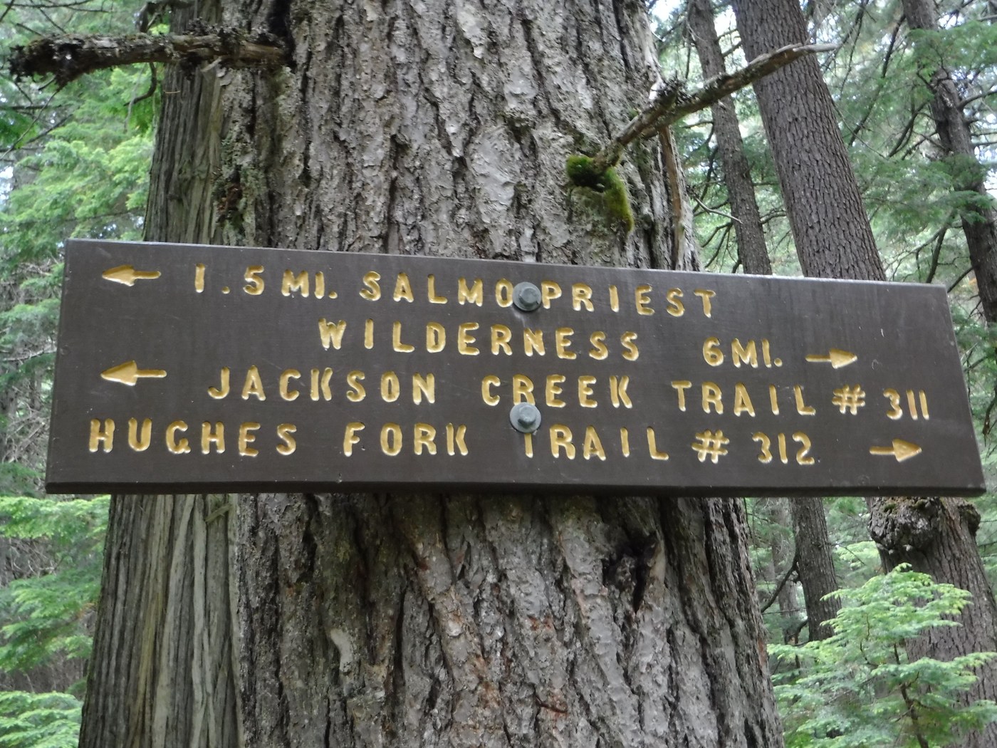
The first mile of the trail (by the old route), or approximately two miles (as I found out when I discovered the new trail on my way back) of Hughes Creek and Jackson Creek are shared trail. They come to a clearly marked intersection, which was my first reassurance that I was on the right route. Since I came by the old, very difficult route, that first mile took me over an hour, several difficult stream crossings, one fall in a hole, and lots of mosquito bites and run-ins with stinging nettles.
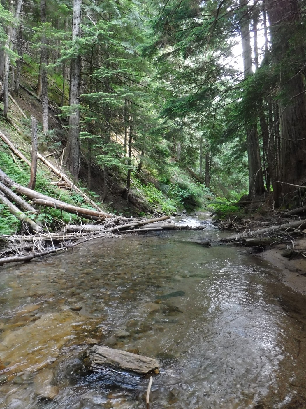
The hope inspired by the well-marked intersection soon gave way to frustration over downfall and trail completely obscured by vegetation. I persevered, but this trail is very, very difficult. It's also completely worth it. I almost hesitate to write a trip report, as this is the most pristine hiking trail I have ever hiked. I didn't see a single fire ring on the Idaho side of the loop until the very end, where someone built a non-LNT campsite close to the new trailhead (and way too close to a stream). On Hughes Fork, there were no established campsites, no fire rings, and virtually no trash (I found one mylar balloon that blew in on the wind and a few rusty tin cans that were 50+ years old). I made a small, clean camp near the last crossing of Hughes Fork in order to enjoy the fantastic old-growth cedar forest. According to the guidebook, this forest experienced a wildfire sometime around 1900. There are numerous standing dead cedar, as well as huge living trees, all showing evidence of the old burn. The forest floor is open, mainly covered in wild ginger, bracken, and beautiful maidenhair fern.
The trail climbs very gradually from the start to this final crossing of Hughes Fork approximately 7 miles in. After that, it climbs steadily for a little over 3 miles to the Shedroof Divide. I hiked the Shedroof in the opposite direction a few weeks ago, so I already knew about the substantial downfall here. This time I counted trees, since there's a work party here next weekend: 174 trees of various sizes. Yikes. And there were at least as many down on both Hughes Fork and Jackson Creek. The good news is that the Shedroof will be cleared soon.
The Jackson Creek trail is possibly in worse shape than the Hughes Fork. At the upper portion, there are several places where the tread is incredibly narrow and overgrown. Several drainage features have failed. And there's more downfall. It's a beautiful trail that has been unmaintained for several years.
Once back at the shared portion of 311 & 312, I discovered the new portion of trail. It added another trail mile to my hike, plus a road mile to get back to my car, but it's a huge improvement to wading through thigh-deep water then crashing through the Devil's club, nettles, and head-high grass that kicked off my hike on the old trail. To get to the unmarked trailhead, follow all of the road signs to Hughes Meadows. Note the turnoff to USFS road 662; the TH road is 2.5 miles from this intersection. It's a left on USFS road 1399. There is no identifying information at the TH, just a sign indicating the trail is open to hiking and horses and closed to all other uses. The first mile is through an old clearcut with only one reassurance marker, but the route was fairly easy to spot as I hiked out. The flowers along this portion were pretty enough so long I didn't think too much about how they were 99% hawkweed and oxbow daisy (noxious weeds). The trail enters the cedar forest at about 1.5 miles, and then reaches the intersection with 311 & 312 at about the 2 mile mark. I estimate the round-trip distance of this loop at about 25 miles.


Comments