Trip Report
Chenuis Falls, Ipsut Falls & Green Lake — Friday, Jun. 24, 2011
 Mount Rainier Area > NW - Carbon River/Mowich

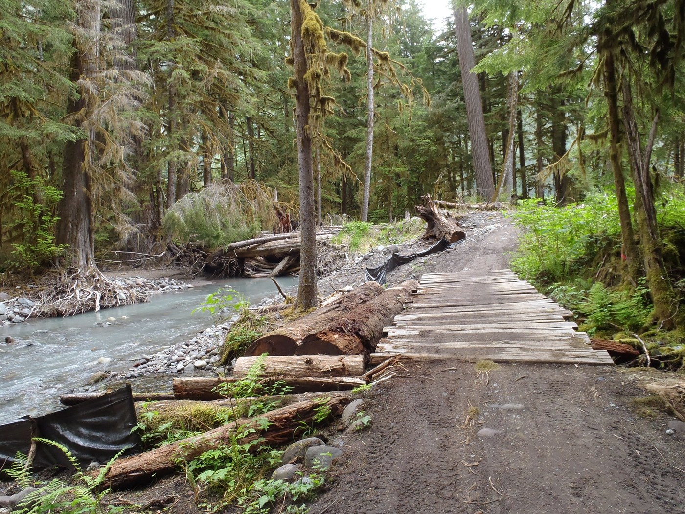
Would you like to see the least-visited region of Mt. Rainier National Park? Then head to Carbon River for casual waterfall hikes, a jaunt to the Carbon Glacier, or a family bike ride. The Carbon River Road (“CRR”), washed out in 2006, is now a 5-mile hiking and biking trail to the Ipsut Creek Campground. The dirt and gravel road has some impediments for bikers (sand, potholes, bumpy wood bridges), but isn’t that what you crazy trail riders like? Mostly it is a beautiful, easy, and very wide trail through a temperate rain forest that made me think I was in the Olympics.
My hike was the waterfall trifecta – very doable and altogether lovely. I hiked to Chenuis, Ipsut, and Ranger Falls. I started from the Ranger Station at 1:30 and arrived back at 6:30. Total mileage ~15 miles (not including my side trip at Chenuis), but 10 of that on flat road.
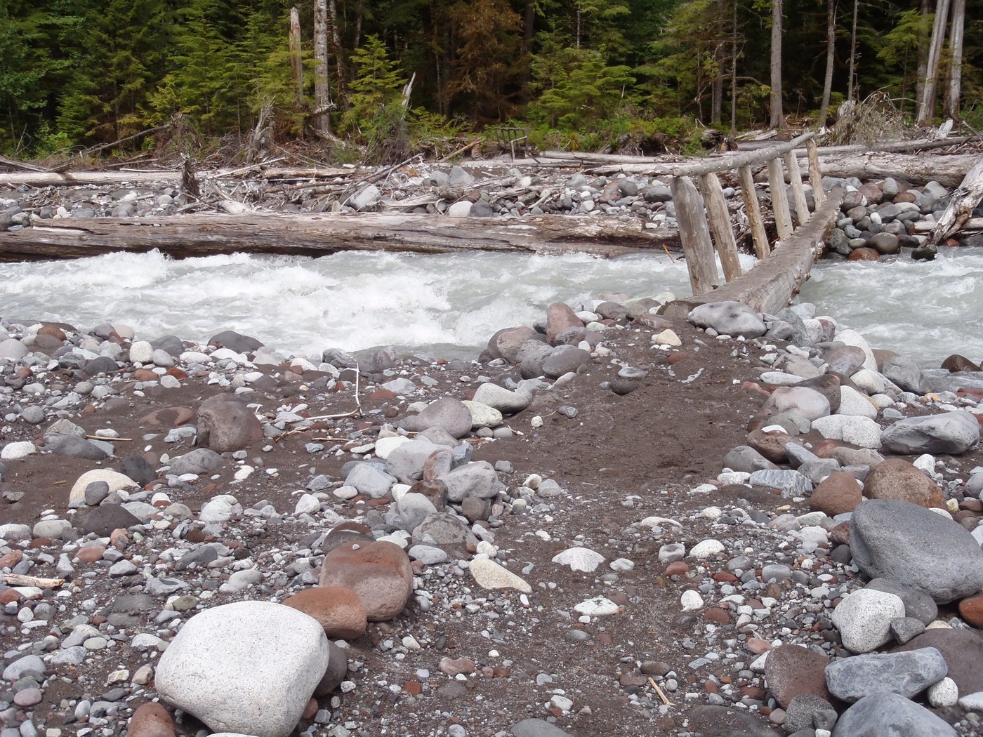
At 3 miles up CRR is the Green Lake Trail (more below). At 3.5 miles is the well-marked trailhead to Chenuis Falls. I think the best part of the 1-mile Chenuis Falls hike is crossing the Carbon River several times on a series of single stringer (log) bridges. Parents will want to hold on to little ones on the bridge over the main tributary, especially this time of year with the water so swift – it ROARS so you can feel it through your boots. (even better is laying on this bridge so the reverberations claim your whole body) Very soon after you come off the river bed into the woods, stay left where the trail forks (link below has a pic of the fork spot). This is not difficult as you can hear the roar of the falls. Going right takes you on a fairly steep and narrowing, brushy trail up to Chenuis Ridge. After hitting CRR again, I enjoyed complete solitude for the rest of the day – saw zero hikers from this point until I got back to the Ranger Station. There were more cars Sat, but no idea where they went as I was on W Boundary Trail that day. You are pretty assured of some solitude in this area of the park.
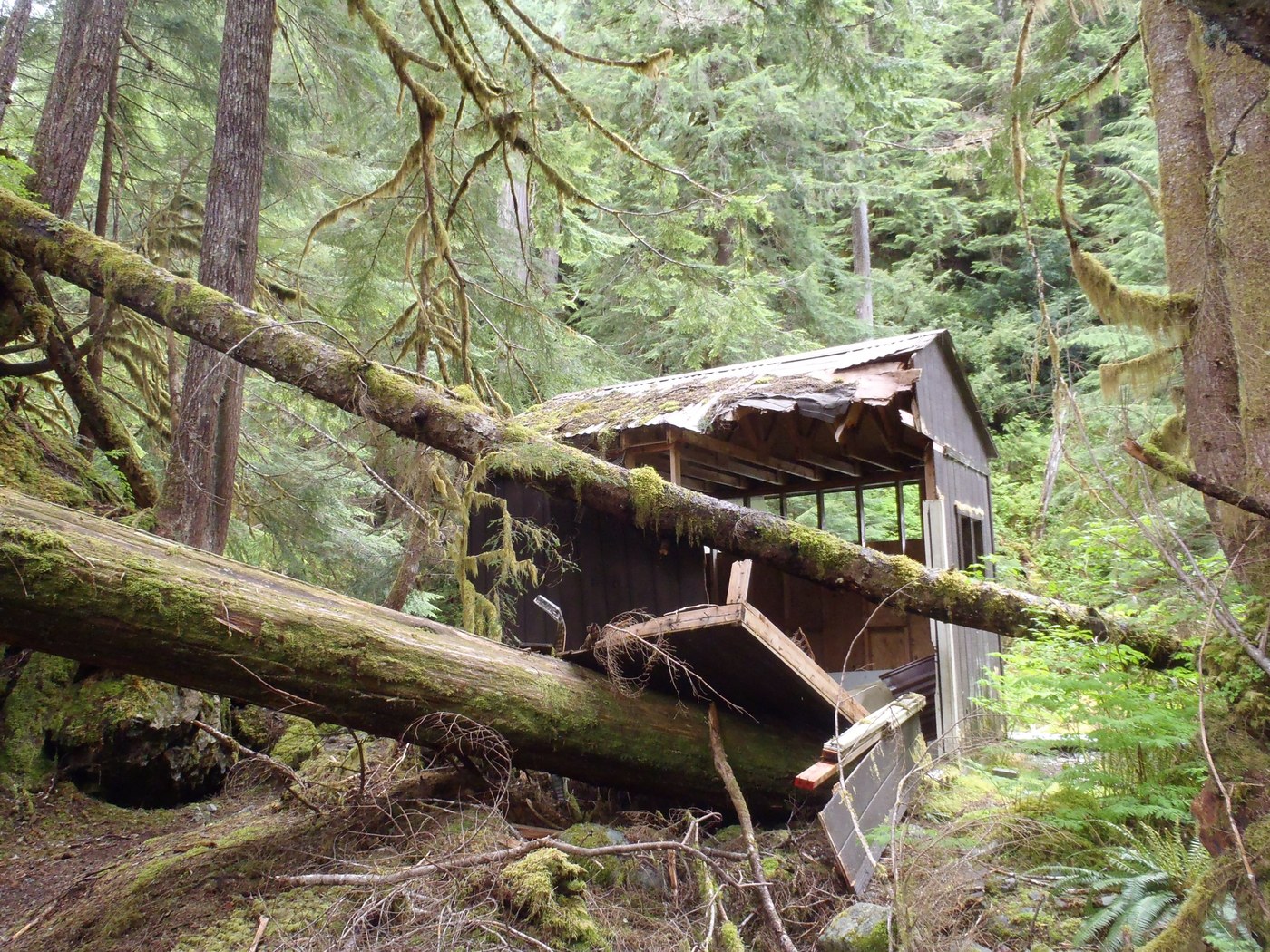
Following CRR to the end (5 miles from Ranger Station) brings you to Ipsut Creek Campground and trailhead to Ipsut Falls, Wonderland junction, Carbon Glacier, and other such glorious destinations. The trail is snow-free at least to the glacier. I only went to the falls this time. Kids would love this because you get to see where a couple firs smashed a little cabin – impressive show. The falls are nice, similar in size to Chenuis but farther away from the trail. The trail does take you to a nice rock beach on Ipsut Creek where you can wade and hang out – a very pretty spot.
On the way back I headed up the Green Lake trail to Ranger Falls (1 mile in). This trail climbs through the woods in a very fetching manner with wonderful steps and water bars recently worked on. You hear the falls to the left and can take a boot trail through the woods for some really nice views of the falls. I did not continue past this point as the sky was darkening and the rain was coming in earnest. I had a lovely hike back down the road still feeling some disorientation from this very Olympics-like region. I see from other trip reports that some find this (CRR) portion boring. I didn't - there are lots of birds and plants to identify, a very wide trail indeed for companionship if you prefer entertainment of the human variety, thrush-calls for your ears, lichen-draped trees bedded deep in the moss for your eyes, and clean, fresh air devoid of the ominous scent of telephone or internet access.
Pics of the day are at: http://www.flickr.com/photos/51278183@N05/sets/72157627051460580/detail/


Comments