
Friday, Aug 9th
This hike has been on the top of my To-Hike list for some time and the Time was Right! My hiking buddy and I took off pretty early on Friday morning and drove out to the West Fork Foss River trailhead. The road was in great shape, and there weren’t too many cars in the parking area and we got a great spot.
We blew into Trout Lake, ate our breakfast snacks, and continued on. The trail up to the Malachite lake junction had one GIANT tree that had fallen over multiple switchbacks that required significant time delays to work around but no real issues. The trail grade was a nice a steady 2K grind, but beautiful in the cool of the morning. We stopped for a minute halfway around Copper Lake to filter water. I ended up running into some other hiking buddies coming down from their trip and it was fun to hear about their good times, and we were heading up! Little heat lake looked very cute through the trees, but we continued on to Big Heart Lake and had a sit-down and ate lunch. There were quite a few folks hanging out and having a great time there.
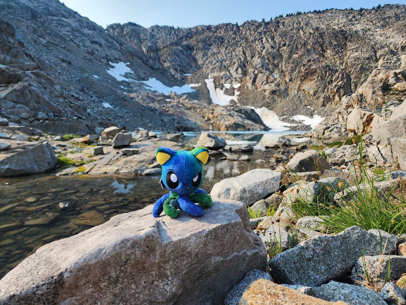
Up until this point the trail had been super obvious, well graded, and wide open with the exception of the one large blow down. Atrium Ridge was a different story with steeper up and downs, and some misleading side boot paths but nothing super complicated. This section was much more interesting and the number of people on the trail dropped dramatically. The views and scenery improved drastically as we continued (lots of exposed granite boulder areas and mini alpine meadows everywhere) and our camp spot by Chetwoot Lake was Stunning!! The Mosquitoes were out in force, so we set up our tents pretty quickly and happily ate dinner before snuggling in for the night. About 9.5 miles
Saturday, Aug 10th
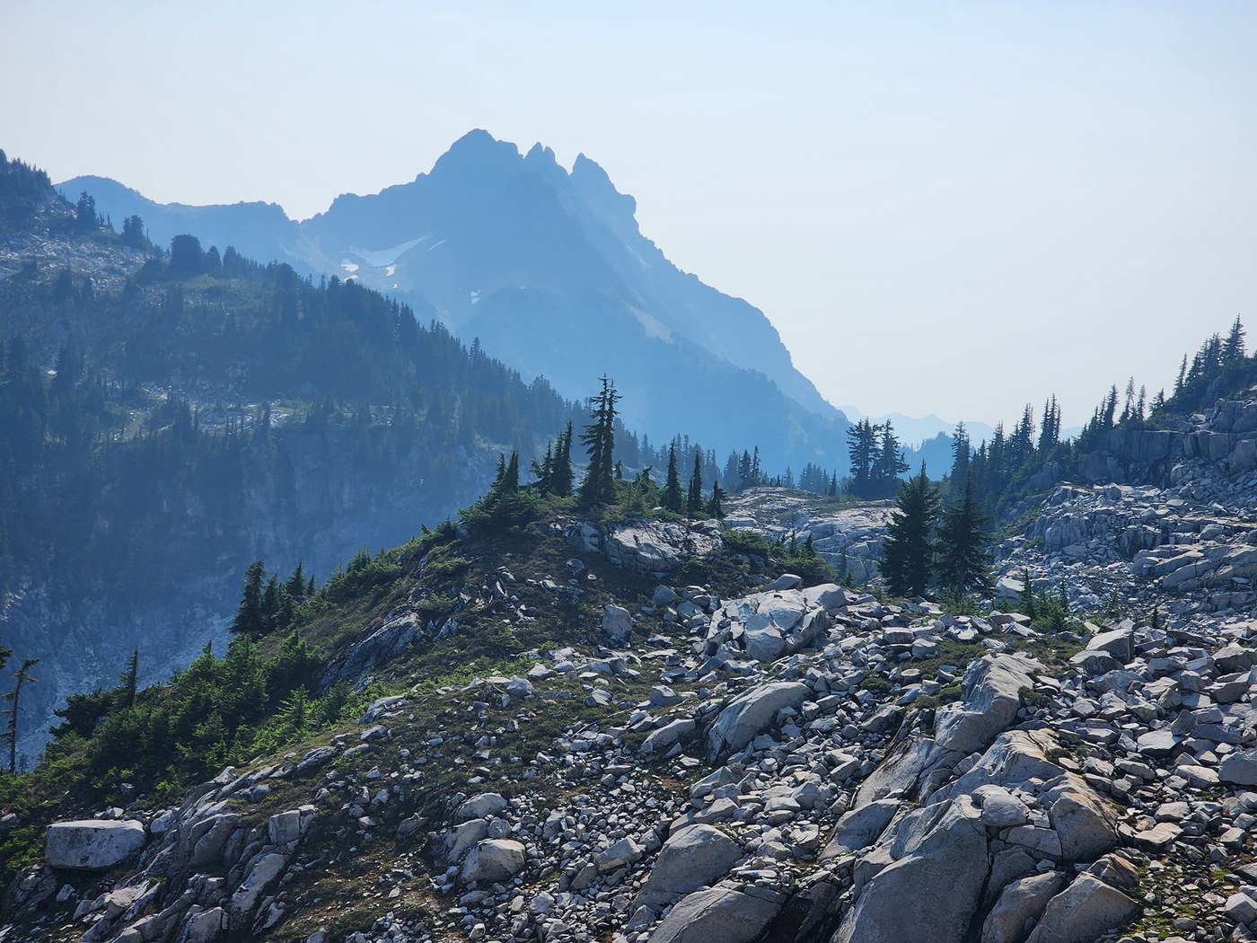
We woke up early so there wasn’t any rush navigating through the route finding section. I’d spend many fun hours pouring over maps and other hiker’s tracks of where to go and felt well prepared to find out way. BUT surprisingly, the boot path/route was Much MUCH easier to follow than I’d expected! I feel like so many people are doing this loop now that it has taken much of the questions and trickiness out of the whole thing! There were accurate stone cairns everywhere and between that, our foreknowledge of the where to go, and Gaia’s gps software, we felt very secure about staying on the correct route the whole time! There was one bit of trail after passing Iron Cap Lake where it descended sharply down some very steep dirt steps along a rocky outcropping and then almost immediately go back up the other side. This bit was straight forward navigation wise, but you sure wouldn’t want to accidentally fall down off the hillside! The rest was easy to follow. [we took the lower route by the lake not over Iron Cap peak]
I had figured that it would take us a significant amount of time to make it from Chetwoot to Tank Lakes, and while the route was slow going because of all the boulders we needed to carefully navigate to avoid a twisted ankle etc, It cruised right along! By the time we arrive at Tank Lakes, we were ready for a bite to eat, took some pictures, and instead of setting up camp as was the original plan, we decided to keep going. Once we made our way down through all the slide-y gravely bits coming down from the Tank Lakes, the trail was nice and cruisy! The cabin was a blast to see. We were aiming for the camp site by the East Fork Foss River, but it was full by the time we reached the valley so we kept trucking!
My feet were complaining for sure by the time we made it out to the road! Then it was only a couple more miles back to the car at the West Fork TH to complete our loop! About 17miles


Comments