Reeling from the Mariners' loss to the Blue Jays, I sneaked in one last clear-sky hike this fall, catching moderate temps and mostly snow-free roads. I will echo what others have said about the forest road -- it has minimal difficulty, though it is steep at times, up until the final switchback. The switchback area itself is wide with space for a few vehicles to park if needed, though there isn't space on the final stretch of road for a vehicle to pass a pedestrian, so you'd be taking your chances.
Beyond this gate, I would not have driven this section of road if I hadn't read about the parking and turn-around area at the trailhead plateau. It genuinely posed minimal difficulty, if taken slowly; I rolled over a few larger rocks and dipped into potholes in my Subaru, but felt I could back up down the road if necessary at all times. This section is also shaded and north-facing, so it was a colder temperature than the rest of the road and held snow and frozen mud in mid-October. When I arrived at the trailhead in the early afternoon, I shared the lot with five pickup trucks.
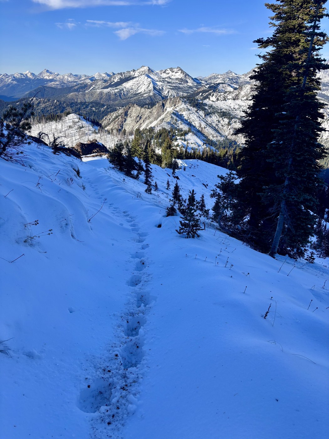
The views on this hike are spectacular, given the 5,000' starting elevation. Tahoma is visible from the trailhead on a clear day, plus early glimpses of the Stuart range and the Central Cascades. The trail begins by following a road on a ridgeline that eventually narrows to a trail. I found this section covered in mud and wet snow, with dirt bike tracks creating a trough for slush and water to collect. You can see Jolly Mountain almost from the beginning, with burn slopes providing clear views through the forest.
After about a mile, the Jolly Mountain trail splits left as the West Fork Teanaway trail descends toward the river, and all the way south to the West Fork Teanaway road and campground. I found this junction easy to miss when the trail is snow-covered, and the dirt bike tracks all head downhill. From here, enjoy the scenic ridge again, leading to a saddle, then a climb to a lookout point. The snow was soft in this section, but the trail was always easy to follow and never too steep to require traction.
The final climb to the summit is a little steeper and slow-going, kicking steps in the snow. It's also shaded, so surface conditions were variable. I followed the trail for the ascent, and used a "winter route" on descent, which seemed like it would ski well in deeper snow.
I arrived back at my car just before sunset, noticing the smoke from Labor Mountain and other fires catching the red light. I wanted to drive the road in the daylight and ensure it didn't get covered in ice as the temps dropped. My car thermometer read 38 degrees on the backside of the mountain. I would recommend this hike anytime the road is clear, but unfortunately, that final stretch is likely the first to be covered in snow and the last to melt out in the spring.


Comments