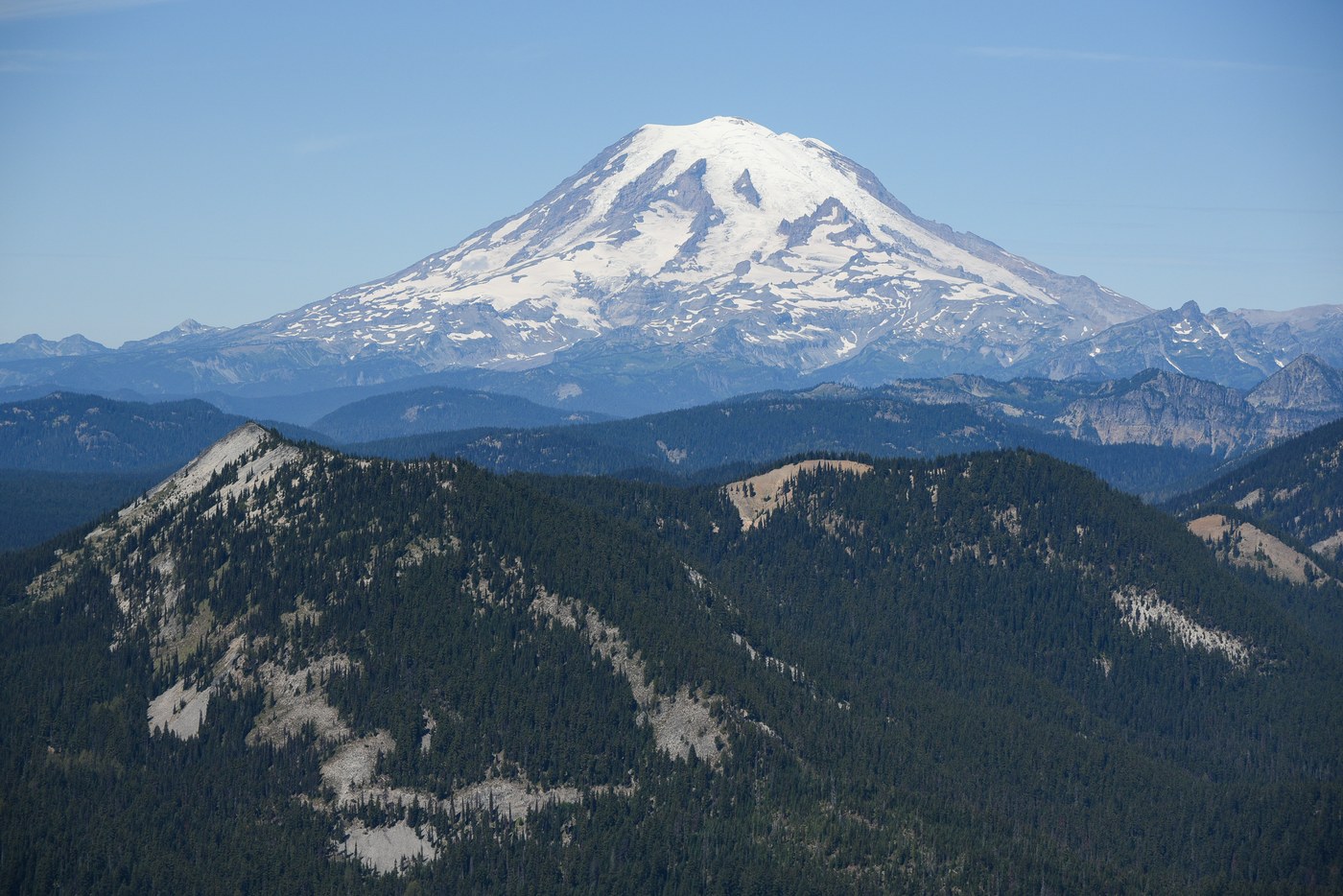
This was a FANTASTIC hike! Amazing weather (low 70s, no haze/smoke), amazing views, easy access, nice trail...and somehow I had it all to myself!
I started at the Andy Creek Trailhead off Hwy 12. Road 1382 is in great shape. As others have commented, the last 1/4 mile is a little rough, but should be passable by all but the lowest clearance vehicles. Starting up Russell Ridge #111, the trail climbs over 1000 feet in the first 1.5 miles, but the tread is solid and before long you are cresting the ridge and starting to get scattered vies south toward Mt. Adams and the Goat Rocks.
At the top of this initial climb is a rather confusing junction with the Ironstone Mountain Trail #1141. In theory this should be a four-way junction, but there are a ton of social trails here and it's actually more like an eight-way junction. I followed the red circles on the trees and CalTopo and ended up heading north on 1141 without too much difficulty, but without a map it could definitely be easy to get turned around here. From here, it was a little over 3 miles of mostly easy walking to the base of Shellrock Peak. The junction with Shellrock Peak Trail #1132 is well-marked, but this trail does NOT actually take you up Shellrock Peak. Look for a fainter boot path angling NW toward the rocky slopes. Once at the base of the rocks there is a faint path heading uphill. This disappears before long, but once you're on the ridge, the route to the summit is obvious. Definitely watch your footing; there's minimal exposure but lots of loose rock and it would be easy to turn an ankle. A pole was very helpful. This was a really fun section. Between the ever-improving views and the ridge-walk, it reminded me of scrambling up 14ers in Colorado...albeit 8000 feet lower in elevation, so much easier on the respiratory system!
The view from the summit is truly remarkable. 360 degree panorama encompassing Mt. Rainier, Mt. St. Helens, Goat Rocks, Mt. Adams, Darland Mountain, Timberwolf Mountain, Mt. Aix, Mt. Stuart. From the summit I decided to scramble down to the small tarn at the base of the east slopes and then link up with the Shellrock Peak Trail heading back to the Ironstone Mountain Trail. This worked out okay in the end, but I probably wouldn't recommended it. The east slopes are pretty steep and the talus is just large enough that you can't really "ski" down it, so this decent actually ended up being rather time-consuming.
I had one slightly unnerving experience on the way back to the TH. A few hundred yards from the Russell Ridge/Ironstone Mountain junction, I came across a dozen or so turkey vultures hanging out ~20 yards off the trail. A few flew off as I approached, and as I paused to watch, something a little farther into the woods emitted a very loud screeching/bellowing noise that I've never heard before. Naturally, I elected not to investigate further and continued rapidly on my way.
Total distance was 11 miles with almost exactly 3000 feet of total elevation gain. Definitely a solid workout. A good portion of this hike is on exposed slopes, so this would probably not the best choice on a warm day despite the elevation. I carried 3 liters of water not expecting to find any, but there were actually 4-5 pretty solid water sources between the trailhead and Ironstone Mountain. From there to Shellrock Peak it was totally dry save for the tarn. Showers earlier this week tamped down the dust quite a bit, which was a nice bonus for this time of year.


Comments