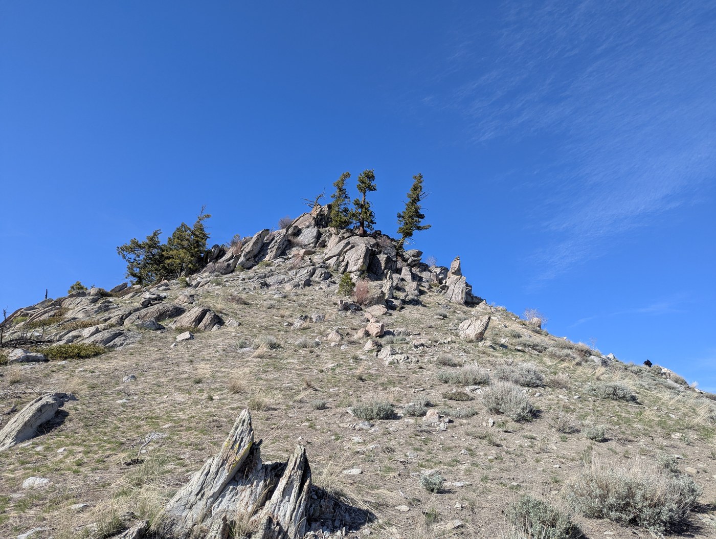
A buddy and I started around noon from the bottom of where Swakane Rd gets rough, around the shooting range. Hiked up the road to the Swakane Trailhead turnoff maybe 2 miles up, then went right, up the closed road which was in good condition for a hiking trail. Went another 6 miles up the aptly named road "Rattlesnake" which had some thick snow patches and downed trees along it near the top 2 miles, but which were never even remotely impassible. After maybe 4 hours of hiking from the bottom we reached the last summit push before swakane peak, only a 0.3 mile hike to the top, but only if you take the direct way and scramble some rocks. My dog Hazzie was not a fan. At the top we had pretty killer views of Waterville, Keystone Point and the Entiat Mountains, a little edge-view of the Enchantments, and a commanding view of Wenatchee and deep into Malaga as well as the slightest view of what I found to be Mt. Rainier, though it was extremely faded and distant. We regrettably took a direct route down the mountain to cut back to the road sooner, as daylight was waning, and we did save about 4-5 miles on the downhike because of this... but the wildflowers were difficult to avoid trampling as they covered the ground like thick grass. Took us maybe 6 hours and 11 miles roundtrip, would very much suggest this hike for some good elevation gain and views if you have the time for it.
 Washington Trails
Association
Trails for everyone, forever


Comments