Time to see how one of my favorite trails survived the winter. The trailhead is unsigned, so check other resources to find the trailhead. The weather report was for dry and mild, which was very nice. And the bugs have not woken up yet. The first half mile of the trail is in the best shape I've ever seen it, and I figured out why. Last year the trail was shut down during the Pincer Creek forest fire. A fire fighting crew worked on removing dead snags above the trail from the trailhead to Pincer Creek. Then they shoved all the dead snags to the downhill side of the trail (this initial part of the trail is actually a former logging road).
The crossing of Pincer Creek is made via two logs that are adjacent to each other and filled with dirt and rocks in the middle of the two logs, so most people should be okay at crossing it. I was thinking that because of the forest fire being uphill that Pincer Creek would be full of burned debris, but it was flowing clean and pure.
Once the trail gets to the end of the logging road (about 40 minutes), the real trail begins. Eventually there is a stream crossing that is a little dicey to cross unless you are using walking sticks, which I have. One can also butt-scoot across a log that is at this location, if desired.
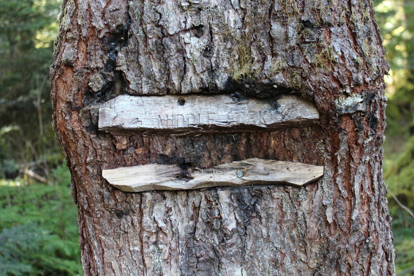
Eventually I arrived at the trail junction with the Middle Fork Cascade River trail. I explored this trail for about an eighth of a mile, until the trail disappears into a large rock slope.
Continuing on along the S. Fork trail, in a short distance I arrived at the log crossing over the Middle Fork Cascade River. I feel comfortable crossing this log standing up, but once again, feel free to butt scoot across if needed. The trail continues into a recovering burn area that was improved by a WTA work crew a few years ago. Then the trail drops down into the river bottom and crosses a small side stream, wanders thru an old-growth forest, and then arrives at what I call the Big Rock Camp Site (about 3.2 miles from the trailhead). This is where I turned around today, since I had been doing some volunteer trail maintenance along the way (mainly throwing branches downhill off the trail).
There was a game camera next to the trail and I wonder if the batteries survived the winter. If you are the owner of the game camera send us a report by appending to this trail report on what the camera caught. Information like how many people and animals, and types of animals. Thanks.


Comments
- Uli on South Fork Cascade River, Middle Fork Cascade River
I have gone on this trail 2 years ago. The crossing of the Middle Fork is a bit sketchy with the high elevation of the crossing log and the lack of a handrail. I need to go back on a day when I have several hours to see how far the trail is doable / not overgrown & full of blowdowns.
Posted by:
- Uli on Apr 12, 2025 10:12 PM
Muledeer on South Fork Cascade River, Middle Fork Cascade River
I did was on several WTA work parties on that trail, good to see it's still holding up. I wish we could finish it, but it's probably very low on the list of priorities. The first year we worked with a bunch of climbers that wanted it restored for an alternate access of the Ptarmigan Traverse. Probably not happening.
Posted by:
Muledeer on Apr 22, 2025 09:20 PM