Avalanches! The mountain was putting on quite a show today! Almost no snow, none on the road at all, flowers and bugs are starting to pop out! Poles might be helpful for the slick areas. Short video of one of the avalanches at the bottom.
I didn't see a single other person until after 11 on my way back but then there were plenty.
Road/Parking: The road is fully paved except the one little washout gravel section for ~100 ft. That bit is pretty rough but should be manageable for anyone. There is plenty of legal roadside parking. At 9:30 I was able to park right by the plow sign and there were less than a dozen cars when I left. I spoke with some cyclists who went all the way to Barlow Pass/Monte Cristo TH and said the road was bare.
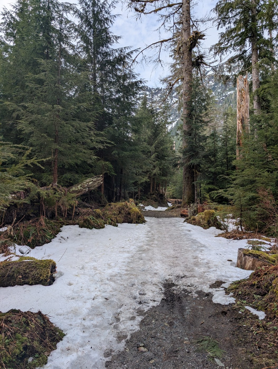
Trail: Right now the first couple of miles are a road walk, no snow, nice and easy, would be a good place for a bike if you want to shave some time/miles, but it is a pretty walk. The birds and frogs are out in force and the bugs are starting to make an appearance too.
When you turn into the Big Four Picnic Area there are some benches and on my way out I hung out there for a while to watch the full avalanche show. You can see the avalanches start all the way up at the top and move down the mountain. From up close you can't really see where they come from but from out here you can get the full show.
The trail was pretty dry and mostly in good shape, no trees across the trail. There were only small patches of snow until the viewpoint. The mountains were magnificent today, cascading waterfalls everywhere. There are signs and a little rock circle marking the end of the relatively safe zone. From here you can watch the waterfalls with a nice big basin between you and the mountain that should catch most avalanches.
I saw some pink flags in the trees but I'm not sure the purpose, they are not a trail.
Past the "safe zone" there is a much rougher trail that wraps around, keeping a valley between you and the avalanche landing zone, as long as there isn't a mega one. It is a little slick in areas and has some scree, poles recommended. It has a few paths that take you a bit closer to the waterfalls on the other side. I didn't really think the views got any better. As you go the dip between you and the mountain diminishes and avalanche debris can be seen closer to the trail, please be careful. Most of the avalanches today were down the main shoot, but I saw a tiny one on this side and obviously there have been many more.
Stats: 7.5 miles, 400 ft elevation gain/loss, 3.75 hours total, 2.75 hours moving. I am a moderate/fast hiker who hikes weekly.


Comments