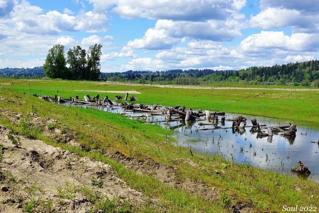
Rarely do I choose a hike where my dog can't go along, but I did so to visit the newly reopened Steigerwald Lake National Wildlife Refuge.
The refuge outside of Washougal just opened on May 1 after a 2-year closure for a $25 million restoration project that reconnected 965 acres of Columbia River floodplain to the river after being blocked by a levee since the 1960's, reduced flood risk from Gibbons Creek, improved habitat for fish and wildlife, and created new trails for recreation.
We decided to check it out on one of the dry days this week. So did many other people; the parking lot was full by 9 am.
We spent a full day on the refuge walking slowing and birding. We each carried binoculars and three people in our group of six also carried spotting scopes.
We saw a few other visitors with binoculars, spotting scopes and long-lens cameras, but most of the crowd seemed to be there just to check out the new trails. Many people did not even carry a water bottle and several people stopped to ask us for directions since the new trails are not well-signed and there are not any mileage markers. The only orientation map is at the kiosk at the refuge entrance.
From the parking area, we walked the Mountain View Trail atop the west levee south for a mile to it's junction with the Refuge River Trail (aka the Washougal Dike Trail). On a clear day, the Mountain View Trail provides views of Mount Hood. Since the trail is high on the levee top, it does not have any shade or wind protection.
At the Refuge River Trail intersection, we turned left (east) and walked .3 mile to the junction with the Gibbons Creek Wildlife Art Trail. we took the Art Trail into the refuge, where it passes a lake, crosses two bridges, and winds through cottonwood riparian forest.
We took a spur trail to a dead end that will become a wetland viewpoint, then returned back to the Art Trail and continued on its route. When we rejoined the Refuge River Trail, we turned left again and continued east to the second bridge, which spans Gibbons Creek. We could view the dike breach and the mouth of Gibbons Creek where it joins the Columbia River.
By then it was getting late, so we turned around and walked the Refuge River Trail back to the junction with the Mountain View Trail, and returned to the parking area.
We walked about 5 miles in 7 hours and saw 88 species of birds as well as deer and a raccoon.
I recommended downloading a trail map from the refuge website (link below) prior to visiting.


Comments
Anna Roth on Steigerwald Lake National Wildlife Refuge
Woo hoo! So great to have this open. Sounds like you had a wonderful visit!
Posted by:
Anna Roth on May 12, 2022 03:34 PM