On a day that was cool and cloudy we decided to hike to Monogram Lake. We are in our late 60’s but are strong hikers. We knew the stated 4675-foot gain in 4.9 miles would be a challenge. It was, although not as taxing as we expected to the junction with the Lookout Mountain trail but harder than we expected from that point to the lake.
First, let me say that we take issue with the WTA-reported distance to the lake of 4.9 miles and suspect it is quite a bit farther. It took us 4.5 hours to get to the lake and 3.25 hours to return. We think the likely mileage is in line with that reported on the most recent Green Trails map for the area, which shows 3.4 miles to the Lookout Mt/Monogram Lake trail junction and 2.3 miles past that to Monogram Lake (5.7 miles total to the lake). The elevation gain, as shown on the Green Trails map, is 3900’ from the trailhead (1300’) to the high point (5200’) overlooking Monogram Lake and then a drop of about 400’ down to the lake, making the roundtrip 11.4 miles and a total gain of ~4300’. We wouldn’t be surprised if the mileage is closer to 6 miles each way. Either that or we traveled at a much slower rate of speed than is typical for us.
We only encountered two parties on the lower part of the trail coming down from the Lookout as we were headed up. They both said they saw a bear at a distance on the Lookout Mt portion of the trail. From the junction to the lake, we encountered no one until arriving at the lake, where there was a party of 3 camped. We didn’t see anyone on the way back down. From a population standpoint it was kind of like hiking in the Cascades back in the 1970’s.
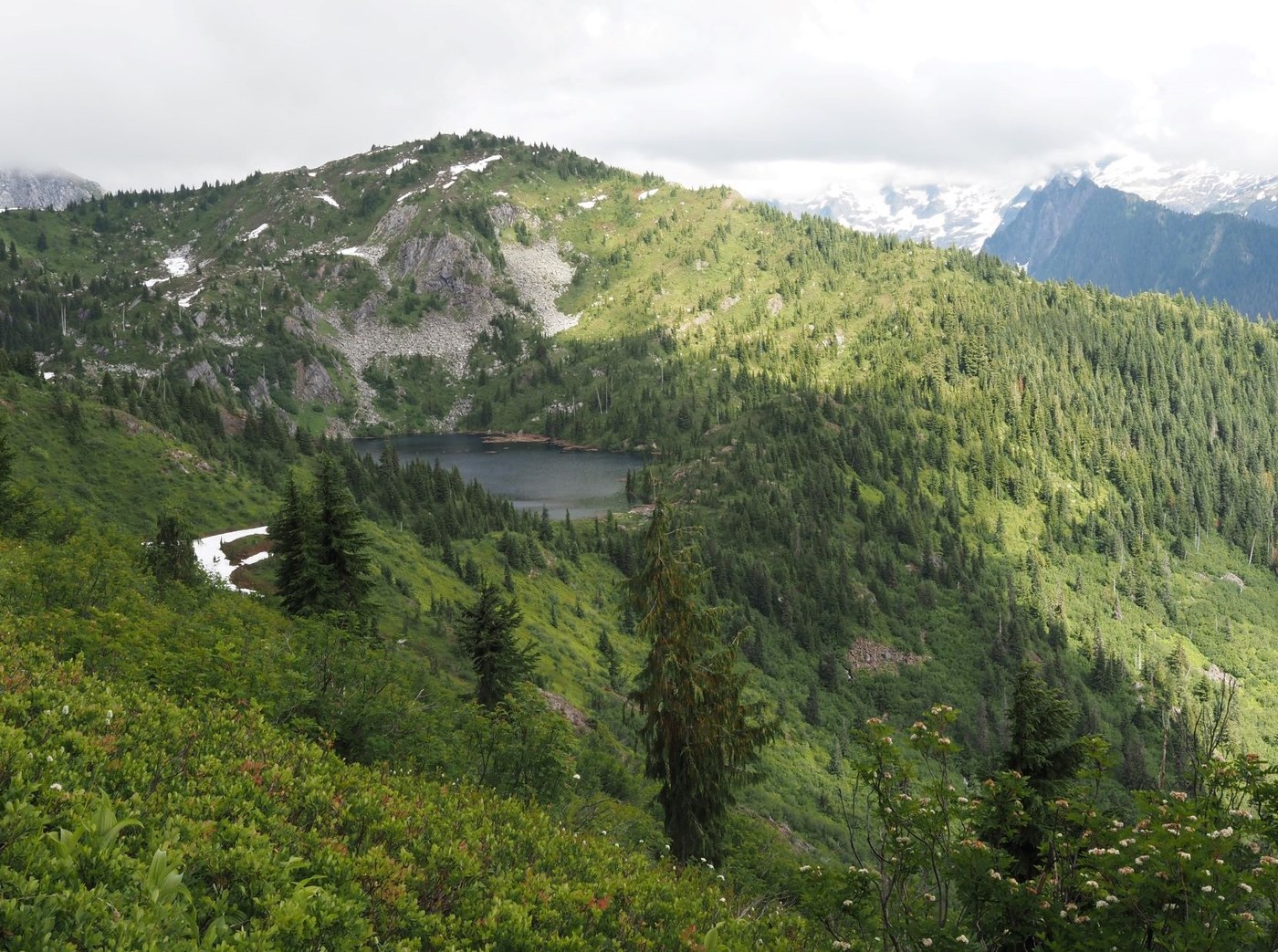
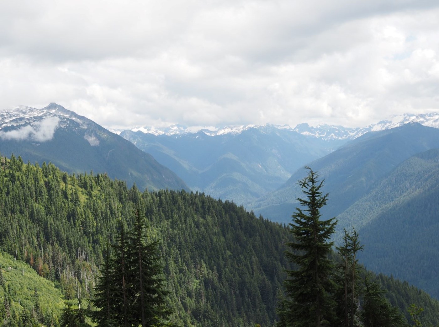
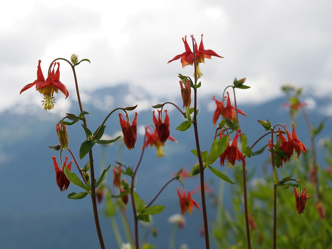
A prior WTA trip report chronicles the route up to the junction very well. The only thing I would add is that you will navigate approximately 40 switchbacks in the first couple miles. From the junction to the lake, the trail is in less wonderful shape. The first mile or so is still in forest, narrow and very steep in places with a fair amount of deadfall to negotiate. A few downed trees would be especially annoying if you were carrying a large pack. The last quarter mile of that stretch before breaking out into the sub-alpine is especially steep. Once you reach the subalpine you have to cross the toe of a sizeable avalanche that is actually quite easy to get across at the moment but once the snow melts it may be more problematic due to the amount of deadfall it contains. From there up to the high point of 5200’ the going is easier. The views are lovely from the high point and as you head down to the lake, although we had a low enough cloud deck that we couldn’t see as much as we would have liked. Early flowers are out, especially once you hit the high point above the lake. Lots of heather, columbine and tiger lily especially. There are fields and fields of huckleberry that look as though they will produce a bumper crop when the time comes. Hence the bear. Bugs were surprisingly almost non-existent, although that may change as more flowers develop.
The drop down to the lake from the high point is pretty steep initially but mellows out as you approach the lake. There is a lot of deadfall in the water along portions of the lake shore which detracts a bit from what is otherwise a lovely alpine lake setting. There is a campsite not far from the outlet that has an adjacent bear box and a privy not too far away. We didn’t see other campsites but I gather there must be some additional sites scattered around. There are some trails that head around the lake but across the outlet and along the south shore they are pretty overgrown and seemed to peter out. I didn’t check out the trail that heads around the north shore, but that looks a bit more traveled. My husband was successful catching some fingerling trout on his spinning rod but a fly rod probably would have been better as they were rising to flies and there were some larger (although still smallish) fish evident. Grouse were whumphing up a storm the entire time we were at the lake until one of the campers started playing bongo drums which threw the grouse for a loop, apparently. Definitely a pleasant spot (minus bongos), but you’ll work to get there.


Comments